 vesseltracker.com
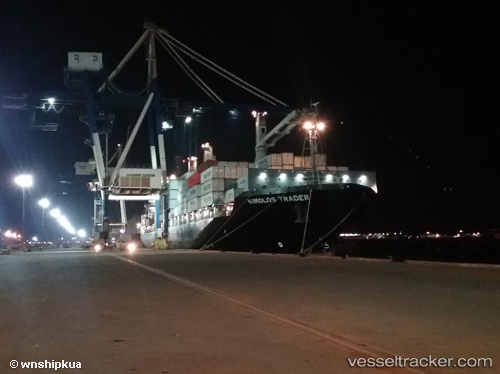
Vessel HMM DHAKA IMO: 9658458, MMSI: 440185000 Container Ship
UTC, 6.22060, 107.25503, course: 37, speed: 14.9
UTC, 6.52552, 107.46374, course: 36, speed: 15.3
2026-02-12 15:43:57 UTC, 6.94773, 107.74363, course: 35, speed: 15.4
Live AIS position:
UTC. 27 nm SW of Gombong),
updated 2026-02-12 15:43:57 UTC.
Find the position of the vessel HMM DHAKA on the map. The latter are known coordinates and path.
marine traffic ship tracker show on live map
The current position of vessel HMM DHAKA is 6.94773 lat / 107.74363 lng. Updated: 2026-02-12 15:43:57 UTCCurrently sailing under the flag of Korea (Republic of)
HMM DHAKA built in 2014 year
Deadweight:
25331 tDetails:
Last coordinates of the vessel:
UTC, 5.62840, 106.86795, course: 31, speed: 14.9UTC, 6.22060, 107.25503, course: 37, speed: 14.9
UTC, 6.52552, 107.46374, course: 36, speed: 15.3
2026-02-12 15:43:57 UTC, 6.94773, 107.74363, course: 35, speed: 15.4